

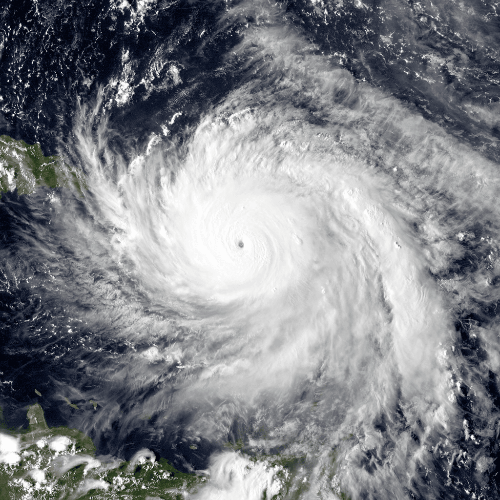
Hurricane Maria near peak intensity, moving north towards Puerto Rico, on Sept. 19, 2017. Image courtesy of the Naval Research Laboratory / NOAA / Public Domain.
It’s been quiet – too quiet – this Atlantic hurricane season, meteorologists and residents of storm-prone areas whisper almost as if not to tempt fate.
A record-tying inactive August is drawing to a close and no storms have formed, even though it is peak hurricane season and all experts’ pre-season forecasts warned of an above normal season. Nearly all the factors that meteorologists look for in a busy season are there.
Warm ocean water for fuel? Check.
Not a lot of wind shear that decapitates storms? Check.
La Nina, the natural cooling of the central Pacific that changes weather patterns worldwide and increases Atlantic storm activity? Check.
Yet zero storms formed. Surprised experts point to unusual persistent dry air and a few other factors. But each time they and computer simulations think something is brewing, nothing comes of it.
“It has been surprisingly and freakishly quiet in the Atlantic,” University of Miami hurricane researcher Brian McNoldy said, pointing out that weak Tropical Storm Colin fizzled out on July 2 and there’s been nothing since.
It’ll be the first time since 1941 that the Atlantic has gone from July 3 to the end of August with no named storm, Colorado State University hurricane researcher Phil Klotzbach said. Since 1950, only 1997 and 1961 had no named storms in August and 1961 then went hyperactive in September, including deadly Carla, he said.
Connecticut may not be as hurricane-prone as areas on the Gulf Coast or the Carolinas, but it’s still a state where valuable coastal real estate is increasingly at risk from storms and memories of Superstorm Sandy remain fresh.
There are wisps of potential storm systems swirling in the Atlantic that meteorologists are following. Closely.
The National Hurricane Center is watching three thunderstorm systems in the Atlantic and gives them all at least a 50 percent chance of becoming a named tropical storm, with one of them a likely sounding 80 percent. But Colorado State’s Klotzbach has seen this before this year and isn’t counting on them.
Just late last week, the computer forecast models predicted three maybe four storms forming, including one becoming a major hurricane with winds of more than 110 mph (177 km/h), Klotzbach said.
Then nothing.
For the past month and a half, thunderstorms that could be seeds of hurricanes power off Africa looking strong enough “but then they encounter a lot of dry air that’s just sitting over the Atlantic,” University of Albany atmospheric scientist Kristen Corbosiero said. “The dry air has really been the main thing that’s been stopping storms from really getting going.”
Relative humidity is about 15 percent below normal and there’s been Saharan dust in there making it drier, McNoldy and Klotzbach said.
The dry air does a couple things, Corbosiero said. Those thunderstorms become more potent and get their energy as warm moist air rises off the ocean. The ocean is warm enough, but the dry air causes that water to evaporate, cool and go down, not up, she said.
That dry air also helps create cross winds about 2 miles up (3 to 4 kilometers) “that can really do damage to a storm trying to form,” Corbosiero said.
Matthew Rosencrans, the National Oceanic and Atmospheric Administration’s lead hurricane outlook forecaster, said he sees signs that the dry air is ending and normal moisture will be returning, which could mean more storms. Rosencrans also says crosswinds at other heights, especially in the Caribbean and Gulf of Mexico also were a factor in dampening storm activity until now.
Other factors include a patch of sinking air over the Atlantic, a poorly located high pressure system also connected to the European heat wave and dust, the scientists said.
It’s been weird in the tropics, too, but in a different way, Klotzbach said. Before this year, the north Indian Ocean has had only one named storm in August; this year there are two, he said. And in the Pacific, Supertyphoon Hinnamnor is not only the most powerful storm on Earth this year, but it’s moving southwest when these type storms usually move west to east, Klotzbach said.
“There’s some odd stuff going on,” Klotzbach said.
Hurricane season peaks around Sept. 10 and stretches through Nov. 30.
“It is important to remember the lessons of Hurricane Andrew, which devastated South Florida and Louisiana in an otherwise quiet year,” National Hurricane Center acting Director Jamie Rhome said in an email. “It only takes one landfalling hurricane to make it a bad season for you, and we still have many months to go in the hurricane season.”